Introduction
by Lynn Byczynski
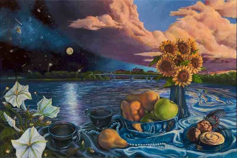
“Still Life on the Kansas River” by Nancy Marshall, Artist and Friends of the Kaw Member
Friends of the Kaw considers the Kansas River a 173 mile linear park for everyone: plants, animals, families and outdoor enthusiasts. FOK continues to partner with river communities to develop boat access, riverfront parks, and hiking and biking trails along the river for public use. We hope that all people will increasingly come to understand the river from geological, natural, historical and cultural perspectives and thus come to care for it and help to preserve it for future generations to appreciate and enjoy.
Principal funding for Life on the Kaw was provided by the Kansas Humanities Council, a nonprofit cultural organization promoting understanding of history, traditions and ideas that shape our lives and build community. Friends of the Kaw would also like to acknowledge Elizabeth Schultz, Dale Nimz, Benny Potts and Leah Hitcher who served as humanities consultants on this project. Their input was invaluable and much appreciated.
Chapters
